Hocking Hills Cabin Rentals - Trails at Hocking Hills State Park
Ash Cave

There is an upper and lower trail at Ash Cave, each one approximately a 1/2 mile long. The lower trail is handicap accessible along a paved sidewalk ending in the large sandy region of the recess cave. It takes approximately a 1/2 hour to hike the trail.
The upper section is a little more rugged and takes 40 minutes to an hour to complete.
Directions:
27291 Ohio 56, South Bloomingville, OH 43152
GPS Tracking: 39.395993,-82.545927
Cedar Falls
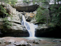
Visitors to the trail have said it is like stepping into an enchanted forest. Huge hemlocks, well-worn paths and rugged cliffs line much of the trail. The trail is about a 1/2 mile and takes about 40 minutes to hike.
Directions:
21724 Ohio 374 Scenic, Logan, OH 43138
GPS Tracking: 39.417215,-82.525359
Old Man's Cave
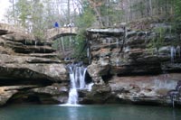
Cliffs and waterfalls and towering hemlocks line the trail. Within a stones throw is the Naturalist Log Cabin and the newly renovated Hocking Hills State Park Visitor Center. Old Man's Cave is approximately 1 mile long and takes about an hour to hike.
Directions:
19852 Ohio 664, Logan, OH 43138
GPS Tracking: 39.434686, -82.541574
Conkle's Hollow
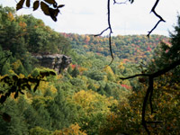
Rugged cliffs, steep ledges and tiny recess caves make this remote trail a wonderful hike for the adventurous. The rim is 2 1/2 miles long and the lower trail is about a mile. It takes about an hour and a half to 2 hours to hike the rim or upper trail and about 1 hour to hike the lower trail.
Directions:
24132 Big Pine Road, Logan, OH 43138
GPS Tracking: 39.452879,-82.572148
Cantwell Cliffs
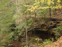
Winding narrow passages, steep inclines and a mysterious rock shelter makes Cantwell Cliffs an exciting place to visit. Kids love the passages and wildflower enthusiasts will be floored by the numbers of species in the spring. A winding trail follows a narrow passageway and ends in a rock shelter. The trail is about a mile and takes 1- 1 1/12 hours to hike.
Directions:
Ohio 374, Rockbridge, OH 43149
GPS Tracking: 39.539749, -82.575945
Rock House
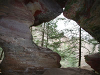
A past full of adventure! Once called Robbers Roost, it is told Rock House was a hideout for bandits. The Rock House trail is about a 1/2 mile long and takes 30 to 45 minutes to traverse.
Directions:
16526 Ohio 374, Laurelville, OH 43135
GPS Tracking: 39.495240, -82.615252